

In our work to heal what was once considered the Blue River by the original peoples, PHCC prioritizes indigenous and tribal leadership within the coalition, seeks guidance from, and fosters meaningful, long-term relationships with sovereign tribal nations, Native and indigenous groups.
Wilamut was the Chinook Wawa trading language term for the Willamette River. Wimal was the Upper Chinook term for the Columbia River. Wa' lúmt in Ichishkíin and Yakama Tribal language referred to the Willamette as the blue river.
Our work is led and centered by the most impacted communities, individuals, and organizations who have been exposed to toxins, displacement, and/or other injustices related to the Portland Harbor Superfund site. These communities include people who identify as Native American/Indigenous, Black/African-Americans, Immigrants, Refugees, People experiencing houselessness, and current residents living, working, subsisting, or recreating around the Portland Harbor Superfund site.
Impacted Communities
Community Resources
Tribal Superfund Factsheets


Trauma Informed Care
Illtopia Studios x PHCC Comic Book

The Story of Wapato Valley and the Willamette River
For thousands of years, Chinookan people belonging to multiple bands and tribes, as well as Molallans, Tualatin Kalapuyans, and many others, called Wapato Valley home. The northern end of today’s Willamette Valley, Wapato Valley is located where the north-flowing Willamette River drains into the Columbia River and out to the Pacific Ocean. The Multnomah lived mainly in sixteen villages on Wapato Island (today’s Sauvie Island), north of what would become downtown Portland. Additional villages were located along the Columbia near today’s airport and just east of present-day Portland, and a few others were located near Willamette Falls, upriver from Portland on the Willamette.
Notwithstanding the occasional flood, an abundance of resources especially wapato, a potato-like root vegetable, made Wapato Island and the rest of the valley suitable for year-round residence. Chinookan stories hold that the camas bulb and Chinook salmon emerged in early spring, and roots and wild carrots appeared a few months later. Next came game such as grouse, quail, “mudfish”, chub, trout, eel, lamprey, and sturgeon, followed by wild strawberries in late spring. Blackberries, raspberries, huckleberries, serviceberries, crabapples, and chokecherries ripened in the summer and fall. Autumn was also an important time for catching Chinook salmon returning from the Pacific, collecting and drying wapato, harvesting camas root, and hunting for deer and elk in the surrounding hills and mountains. Other important staples in various seasons included shellfish, small game such as rabbits and birds, and various insects, seeds, grasses, and nuts, including acorns.
Between the 17th and 18th centuries an influx of white settlers brought tremendous changes, altering the river’s course for generations to come. The arrival of colonizers such as Robert Gray, George Vancouver, Meriwether Lewis and William Clark in the late 18th and early 19th centuries and others in the decades that followed, opened the door for disease, theft, and murder that devastated Indigenous populations, and subsequent river communities of African Americans, Chinese and other immigrant populations in what is now known as the Portland Harbor. Hundreds of industries developed along the river’s banks, depositing heavy metals, pesticides, and other toxic chemicals into the water, soil and river sediment for over a century.
It wasn’t until the 1970’s when pollution abatement and control measures began taking shape and holding identifiable industries accountable for their point source pollution. In the 90’s, the City of Portland began taking notice of poor water quality as a result of unregulated, nonpoint source pollution, largely from runoff. They realized that when it rains, upland contamination from roads, lawns, farms and industrial sources washed directly into the river, where it compounded existing contamination, increasing the risk to human and ecological health.
Read more here:A Lower Columbia Chinook Historical Timeline
The Portland Harbor Superfund
Parts of the Wilamut (Willamette) were found to be polluted to the extent that the Environmental Protection Agency (EPA) added the Portland Harbor to the Superfund national priority list in 2000. The Portland Superfund is considered to be one of the most contaminated and complex sites as a result of the amount of contamination that took place for over a century and the long list of responsible parties, some of whom who have yet to take responsibility for the cleanup. Superfund is a federal law that requires highly contaminated or hazardous sites to be identified and remediated. The Portland Harbor Superfund site spans a 10.8-mile stretch of the Willamette, from the Broadway Bridge to Sauvie Island. Extensive testing in the area has found 29 different toxic compounds that pose a risk to human health and 89 compounds that pose a risk to ecological health. One of the biggest risks to human health comes from eating contaminated fish that reside in the Wilamut, such as bass, catfish, carp, and sculpin.
Since 2000, a handful of cleanups have taken place, however, many changes continue to be made and are still necessary to improve the water quality of the Wilamut and protect the health of the environment and community—especially those who are most vulnerable to the effects of the river’s contamination. Some of the main challenges include the elimination of Combined Sewer Overflows (that result in raw sewage discharges directly into the river) and the prevention of toxic runoff from land flowing into the river.

Photo credits: Cleveland Rockwell's sketch "Mouth of the Willamette" for West Shore magazine, Oct. 1883., Oreg. Hist. Soc. Research Libr., OrHi 76413.

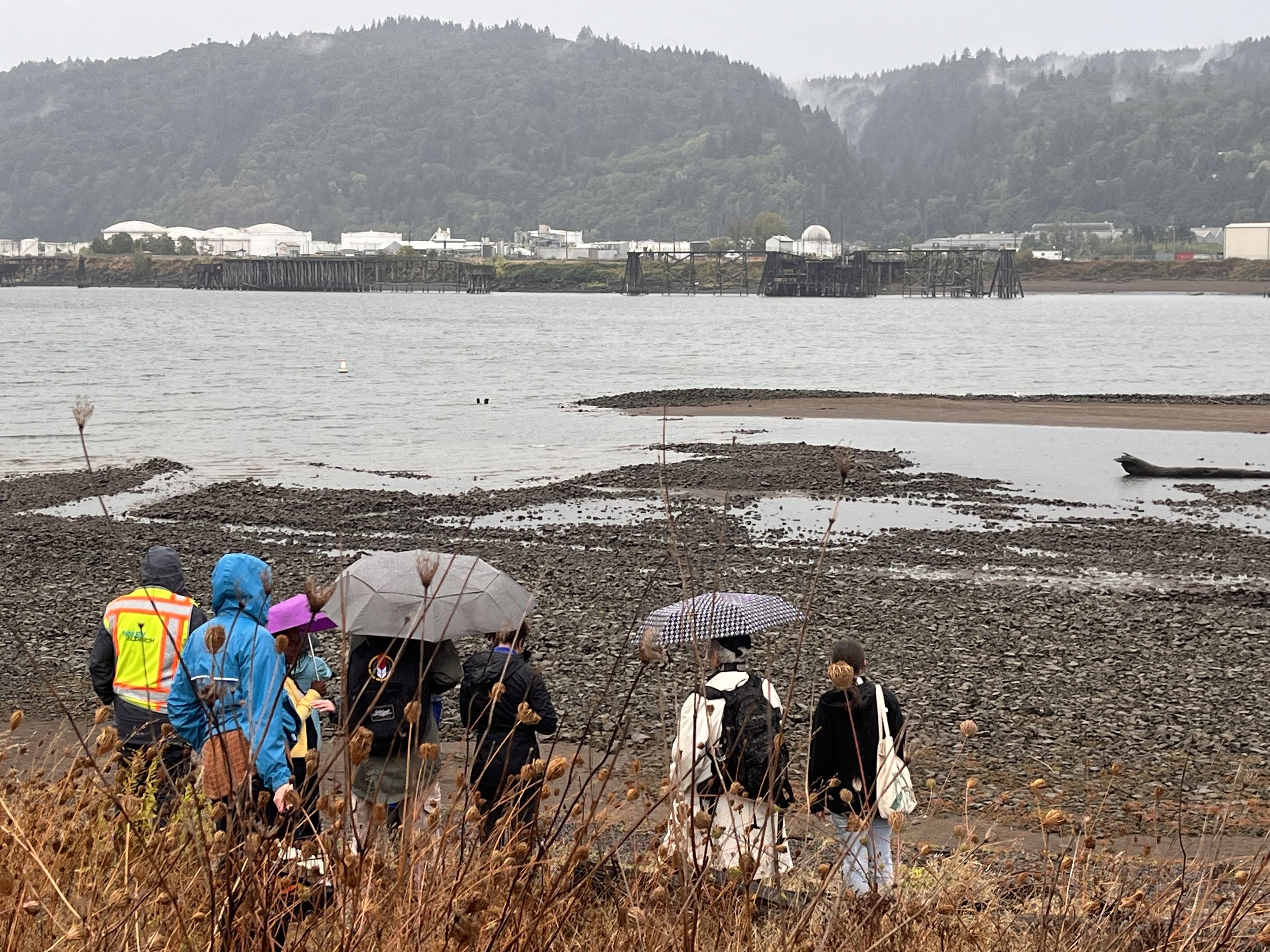
Photo credits: Photo Credits: Cassie Cohen, NPS & Etsy.


Photo credits: Paper mill on the Willamette River, Oregon City, 1950s. Source: http://scarc.library.oregonstate.edu/coll/f059/imagecredits.html

